

NC-DroneWorks
Drone solutions for commercial inspections, construction monitoring and infrastructure intelligence
Call for information 336-925-6137
Professional Drone Services.
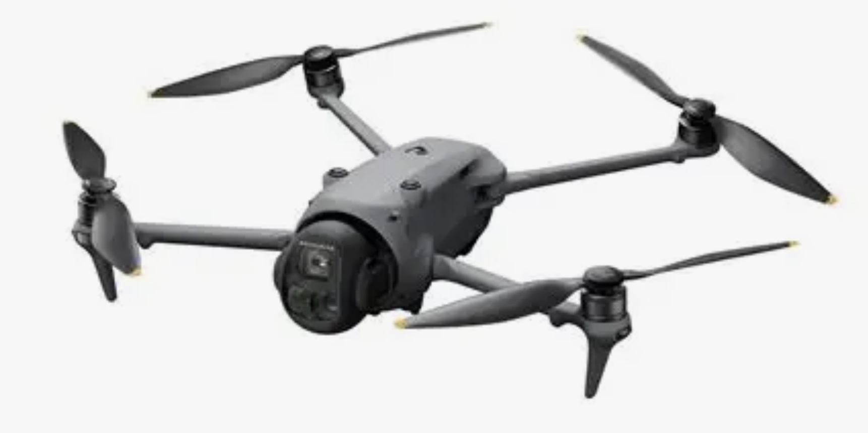
Part 107 certified since 2017, NC-Drone Works delivers impactful, high-quality aerial imagery tailored to your needs. We provide resolutions up to 6K video and up to 100MP still photos, capturing every detail with precision. With a fleet of five DJI drones, we select the ideal UAV for each project—ensuring the right platform for inspections, marketing, property monitoring, or any mission you require.
What we do
Roof inspection
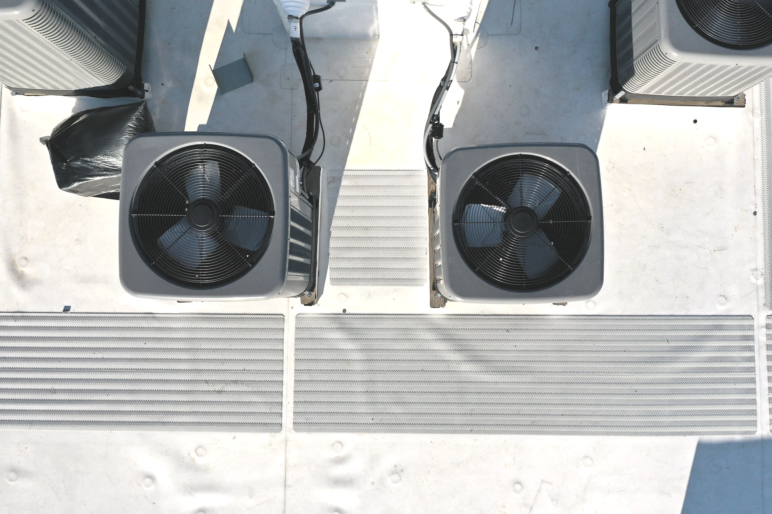
Traditional crew-based roof inspections are often slow, costly, and time-consuming. With our drone technology, we can quickly capture high-resolution photos of your roof and maintain them on file for ongoing review. Think of it as a visual time capsule of your roof’s condition—allowing you to monitor changes over time and identify potential damage before it turns into a costly problem.
We also provide rapid-response emergency roof inspections after storms or unexpected events, delivering clear documentation when you need it most.
Marketing/Publicity photos
Elevate your marketing and publicity projects with ultra-high-resolution imagery from the 100MP camera and 6K video capabilities of the DJI Mavic 4 Pro. As one of the first compact drones to deliver this level of detail—including exceptional low-light and night performance—it produces cinematic-quality visuals from a platform small enough to fit in a backpack.
As part of our total fleet of five DJI drones, we’re equipped to match the right aircraft to your specific project—whether it’s dynamic promotional footage, large-scale property showcases, or crisp, detailed still photography designed to make your brand stand out.
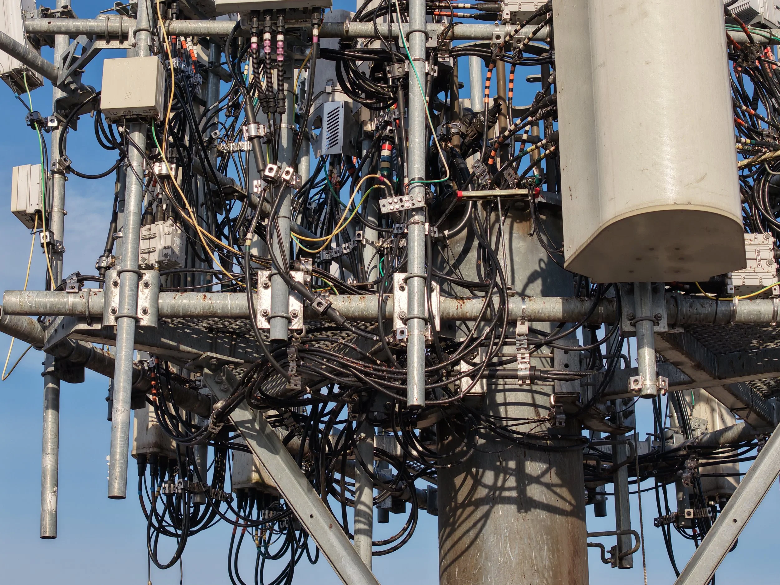
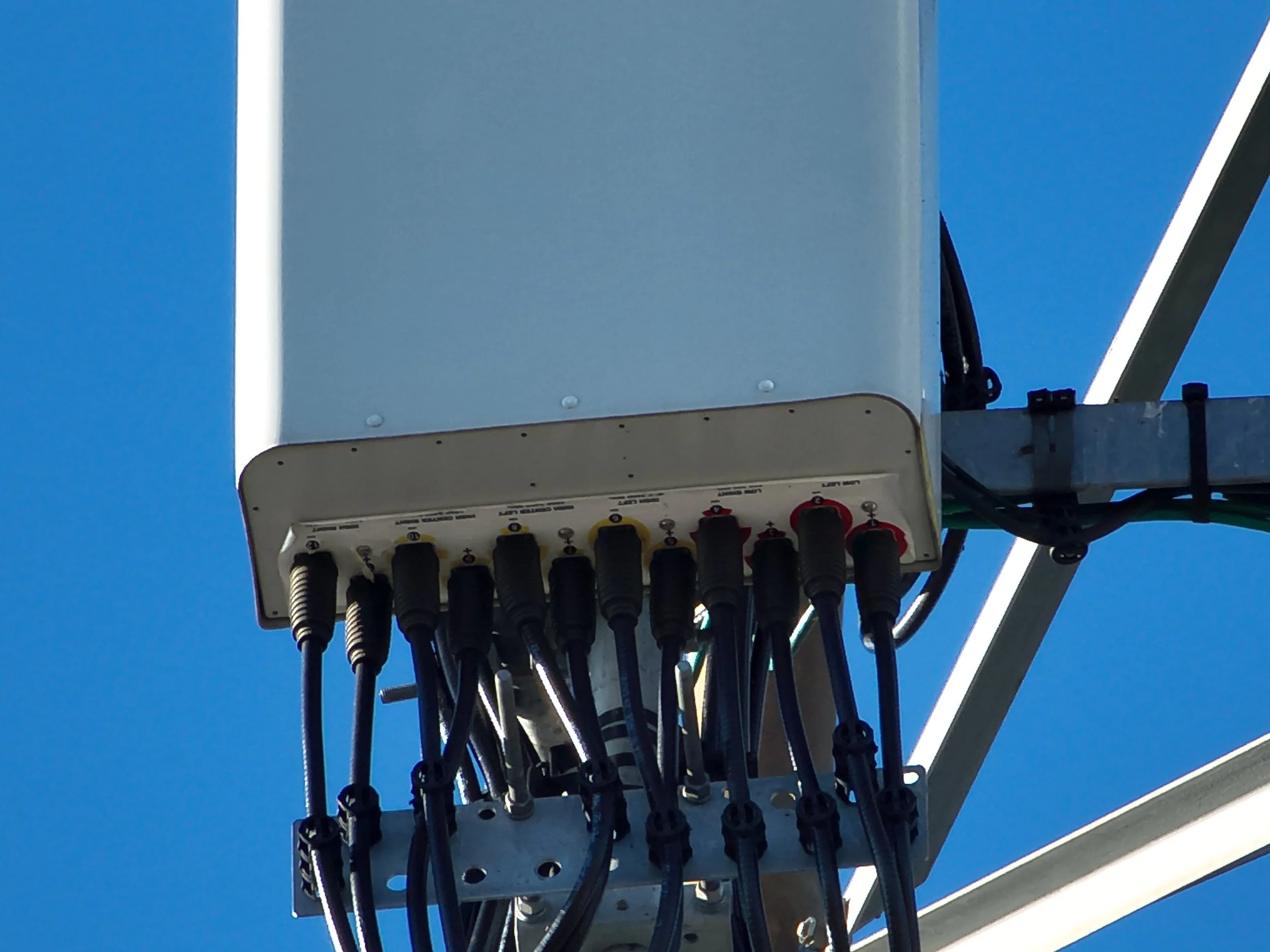
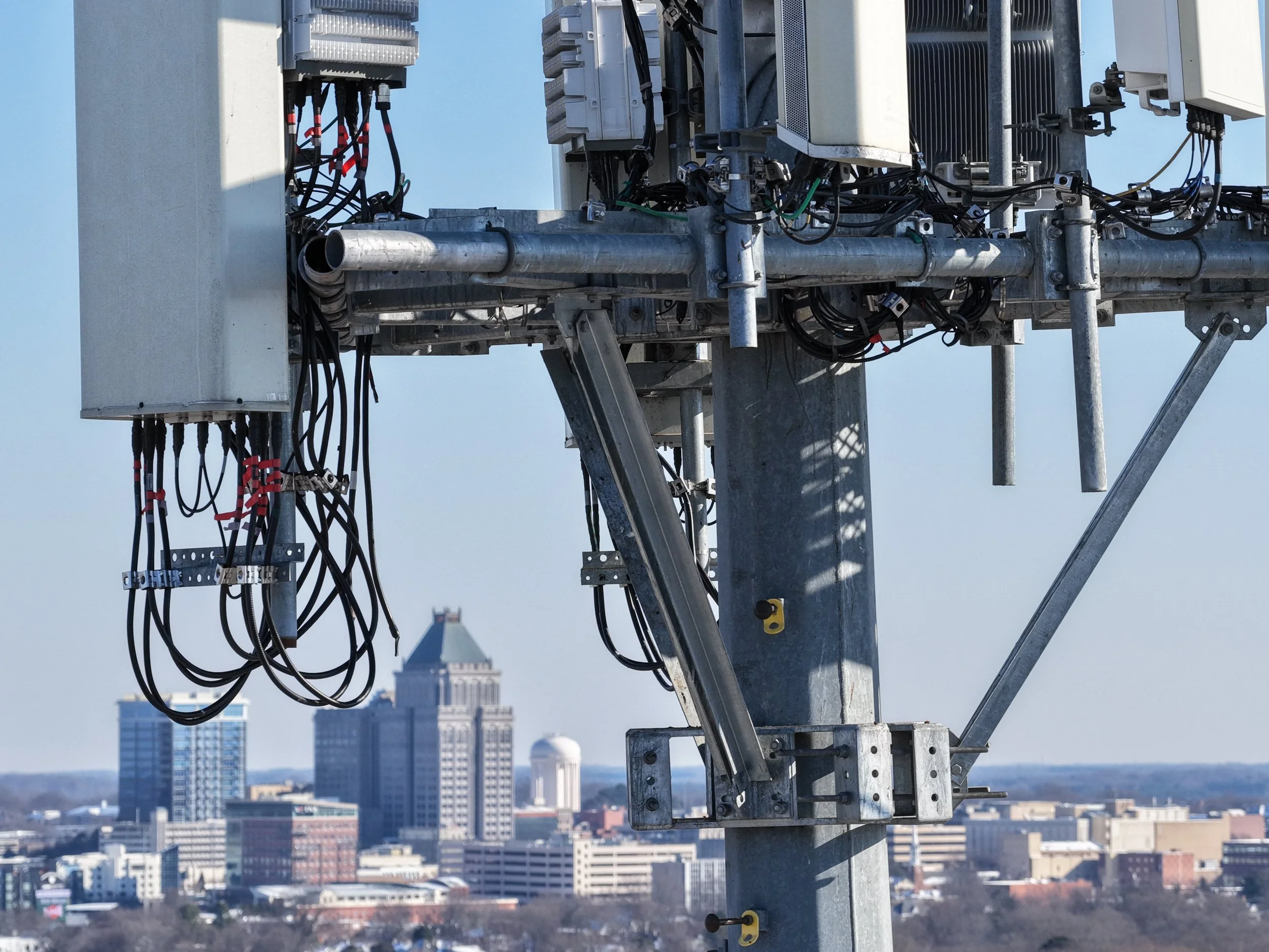
Utilizing drones for cell tower inspections saves both time and money while significantly improving safety. Instead of climbing crews and extended downtime, we can capture detailed, high-resolution imagery from every angle of the structure quickly and efficiently. In many cases, we can create a complete digital twin of a tower in under 20 minutes—providing a clear, organized visual record for engineers, asset managers, and maintenance teams to review. The result is faster decision-making, reduced labor costs, and accurate documentation you can rely on.
Cell Tower Inspections
Property Monitoring
Managing multiple properties—especially across different cities—can be challenging and time-consuming. Drone technology offers a fast, efficient way to capture real-time conditions without the need for constant on-site visits. With the high level of detail aerial imagery provides, potential issues can be identified early, allowing you to dispatch a maintenance professional quickly and address the problem before it escalates. The result is proactive property management, reduced repair costs, and greater peace of mind.
Bridge Inspections
Drones provide a smarter, safer way to inspect bridges by capturing angles and viewpoints that are nearly impossible for traditional inspection crews to reach. Without the limitations of ground-based access or heavy equipment, drones can maneuver around beams, under decks, and along structural components with ease. This flexibility—combined with significant time savings—allows for detailed, high-resolution photos of potential issues in virtually any situation. The result is faster assessments, improved safety, and accurate documentation to support maintenance and repair decisions.
ncdrone.inspections@gmail.com
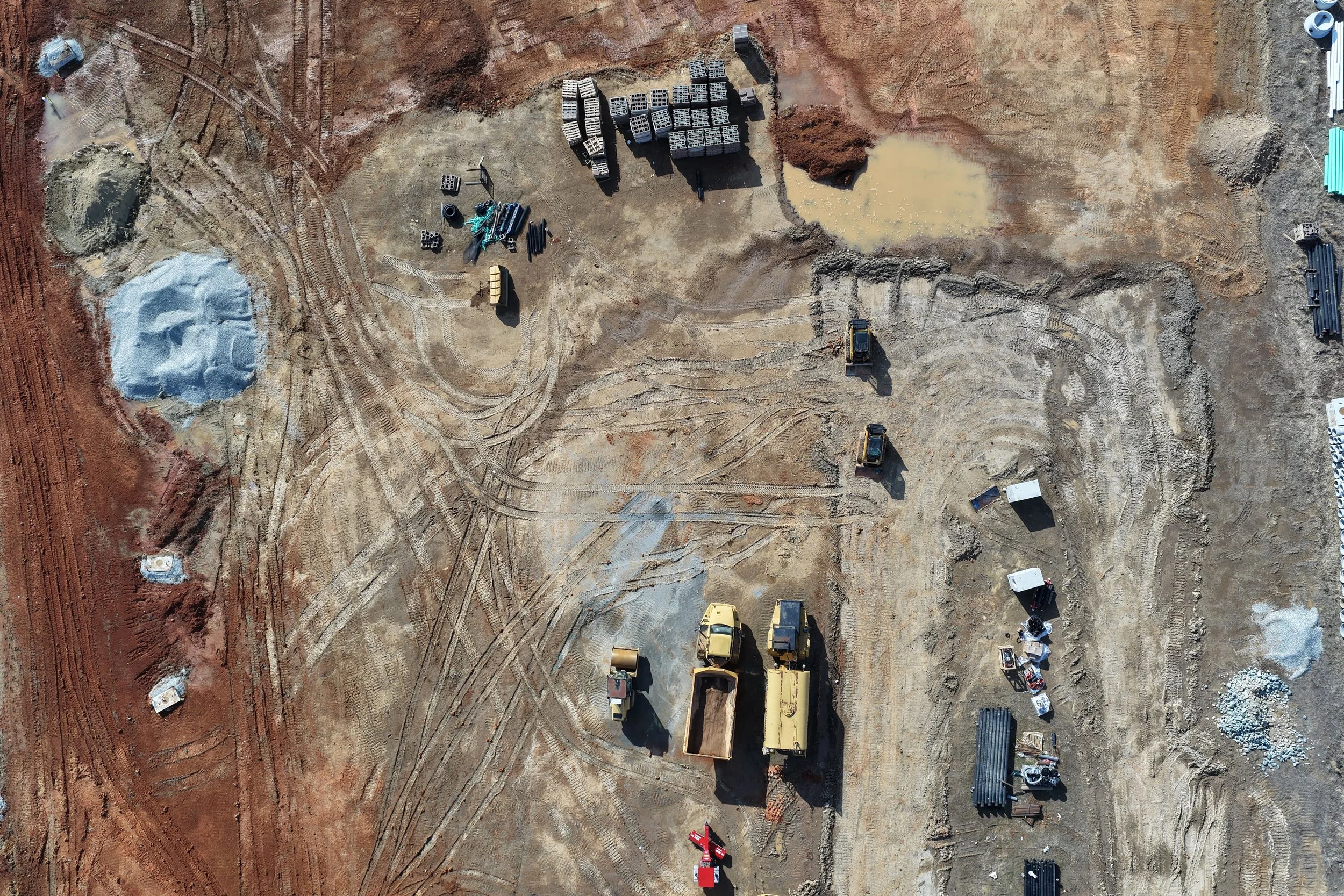
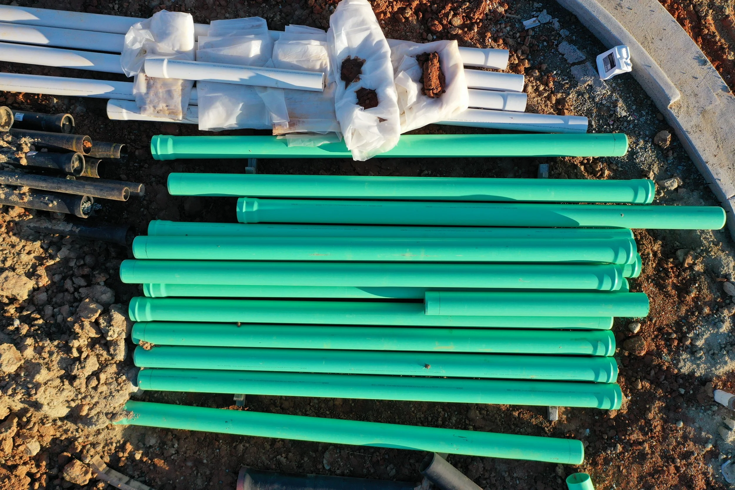
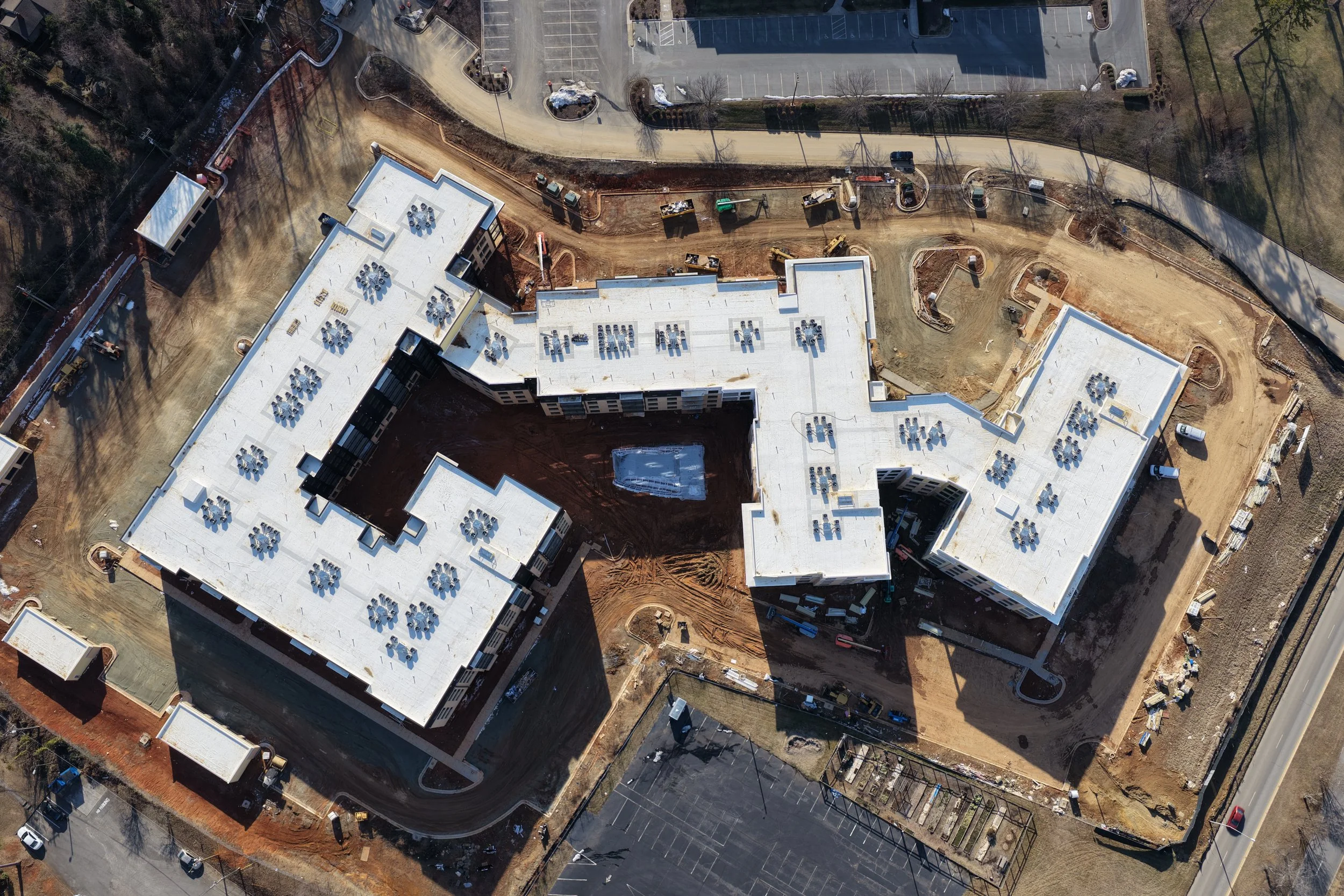
Construction Site Monitoring
Construction sites present constant challenges—from theft and security concerns to staying on schedule and within budget. Drone documentation provides consistent weekly, bi-weekly, or monthly imagery, allowing you to track progress over time and pinpoint exactly when an issue first appeared. In addition, aerial data can be used for volumetric analysis, helping you verify material quantities and ensure reported progress matches reality. The result is greater accountability, improved oversight, and better-informed project decisions.
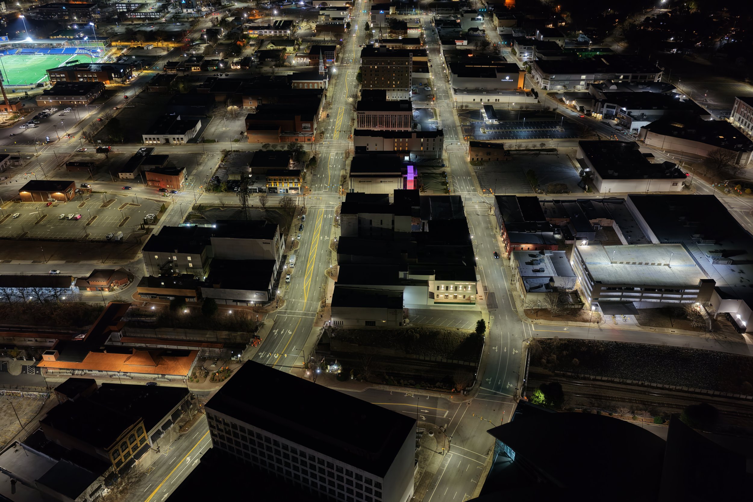
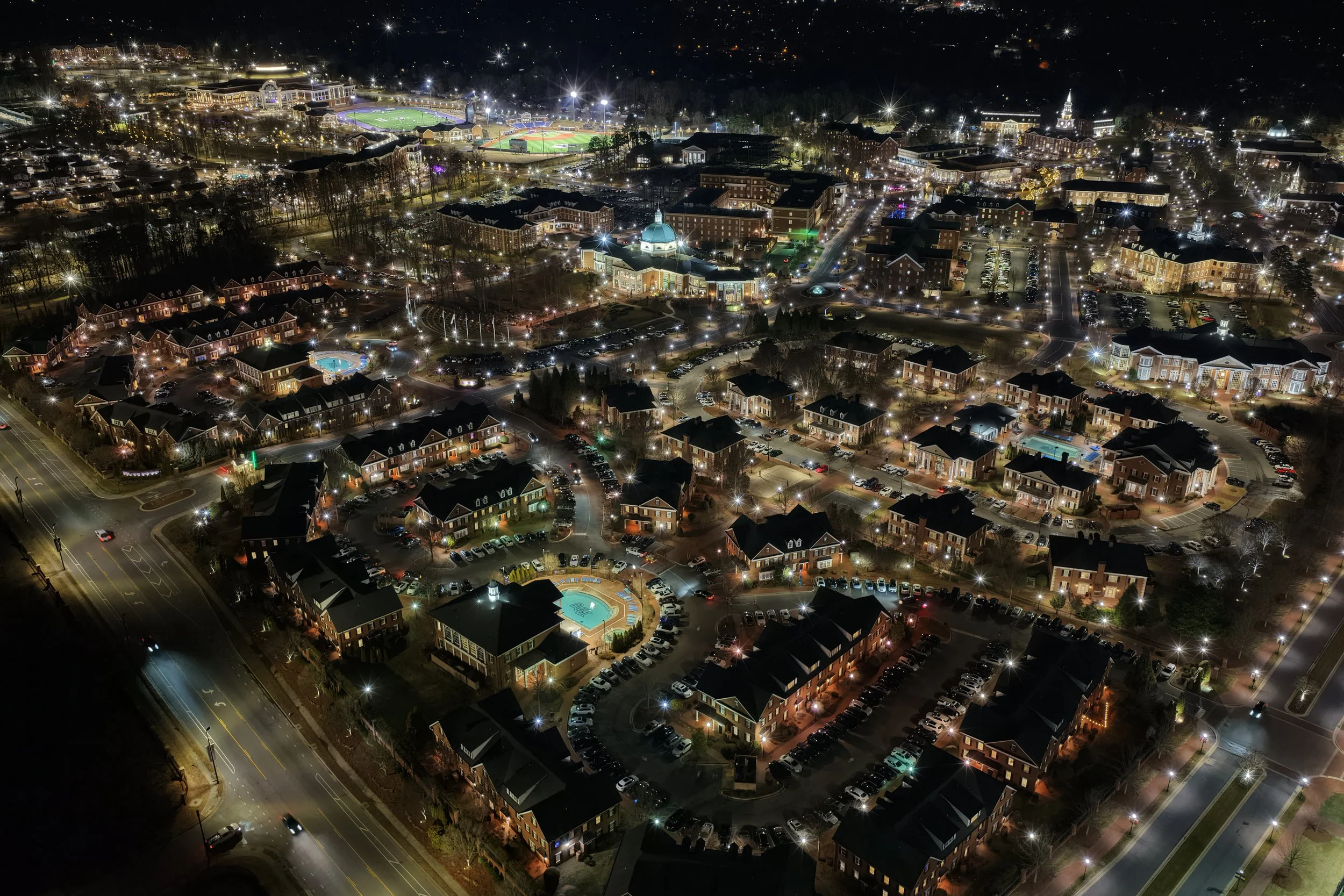
Night Photography
Most drone companies avoid night operations due to equipment limitations, but NC-Drone Works has a fleet of five DJI drones ready to handle any challenge. We match the right drone to your project, capturing vibrant, high-quality images in low-light conditions that other companies simply can’t achieve. From subtle cityscapes to dramatic nighttime shots, nothing is out of our reach, giving you stunning visuals no matter the hour.
ncdrone.inspections@gmail.com
Drone Services that capture your imagination.
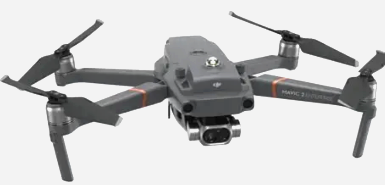
NC-Drone Works delivers high-quality aerial photography and video using our fleet of five professional DJI drones: Matrice 30T, Mavic 4 Pro, Mavic 2 Enterprise, Mavic 2 Pro, and Mini 3 Pro. Part 107 certified since 2017, we match the right aircraft to every mission—whether you need ultra-high-resolution RGB imagery, advanced thermal (FLIR) imaging, or exceptional low-light and night photography.
NC-Drone Works also offers drone-based security and aerial monitoring. With powerful zoom cameras, thermal sensors, and night-capable imaging, drones can patrol large properties, construction sites, and events while providing a real-time aerial perspective that fixed cameras cannot achieve. For missions requiring extended coverage, tethered drone systems can remain airborne for long durations, delivering a persistent aerial security presence.
ncdrone.inspections@gmail.com
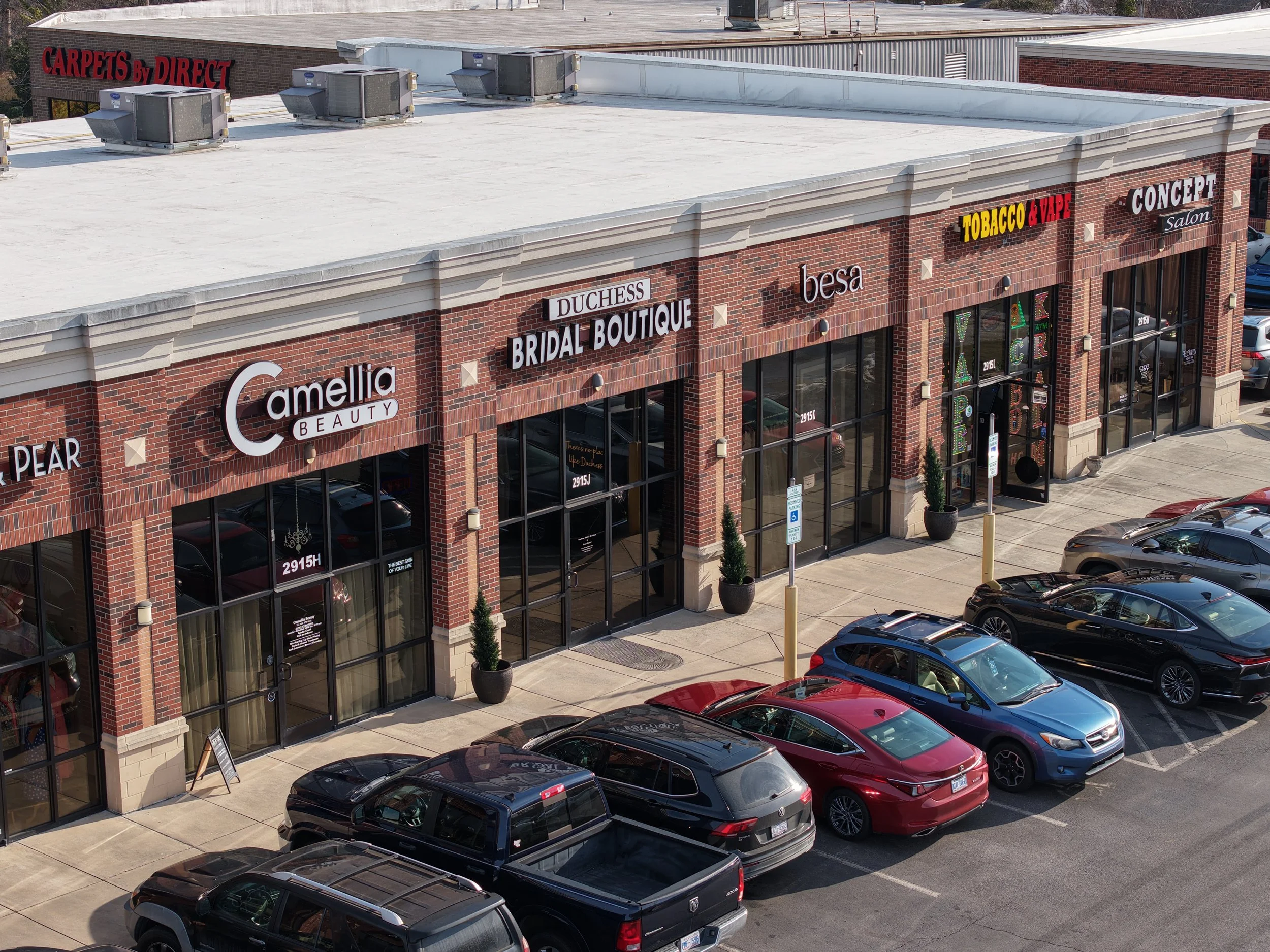
Using advanced drone technology, we capture comprehensive and highly detailed aerial imagery that provides a complete visual record of a building or retail location. High-resolution photos and cinematic video allow property managers and corporate teams to clearly document structural conditions, roof elements, signage, parking areas, and surrounding property features. This aerial perspective serves as a valuable tool for building inspections, inventory verification, and compliance with corporate store standards. By documenting every angle of the property, drone imaging helps ensure locations meet brand requirements while also providing a reliable visual record for maintenance planning, asset tracking, and operational oversight.
Safe, Efficient, and Innovative Aerial Solutions
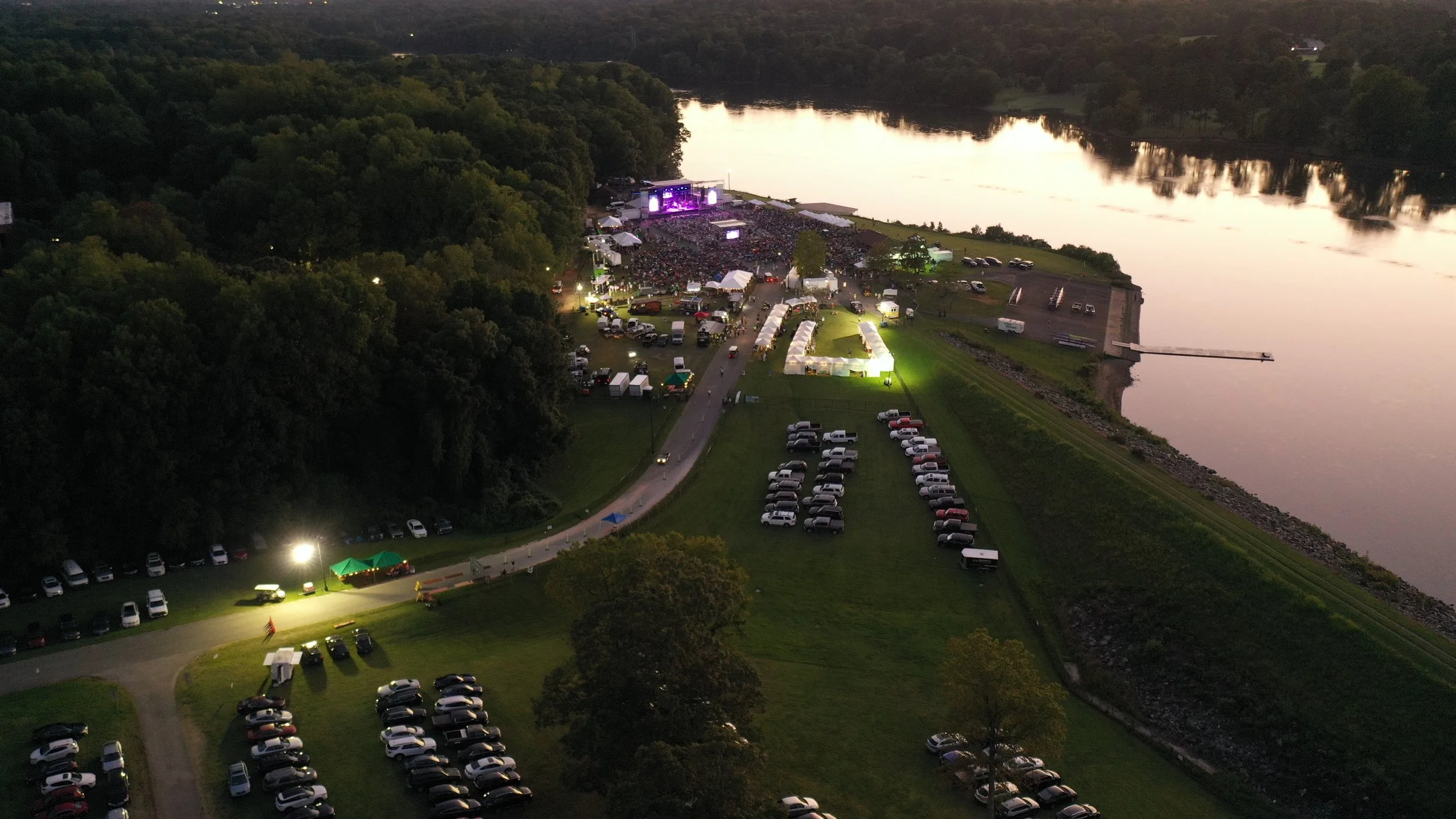
Security/Monitoring
Drone-Powered Security
& Event Overwatch
Keep your property and events secure with real-time aerial monitoring that provides a complete aerial perspective.
For special events, drones provide overwatch from above, monitoring crowds, traffic flow, and access points to ensure safety and quickly respond to any incidents. High-resolution imagery and video also create a detailed record of events, supporting investigations, insurance claims, or post-event analysis.
For situations requiring continuous monitoring, our drone platform can operate in a tethered configuration, supplying power from the ground so the aircraft can remain airborne for 24/7 operations. The platform is also IP55 weather rated, allowing it to operate in rain, dust, and challenging outdoor conditions while maintaining a persistent aerial security presence.
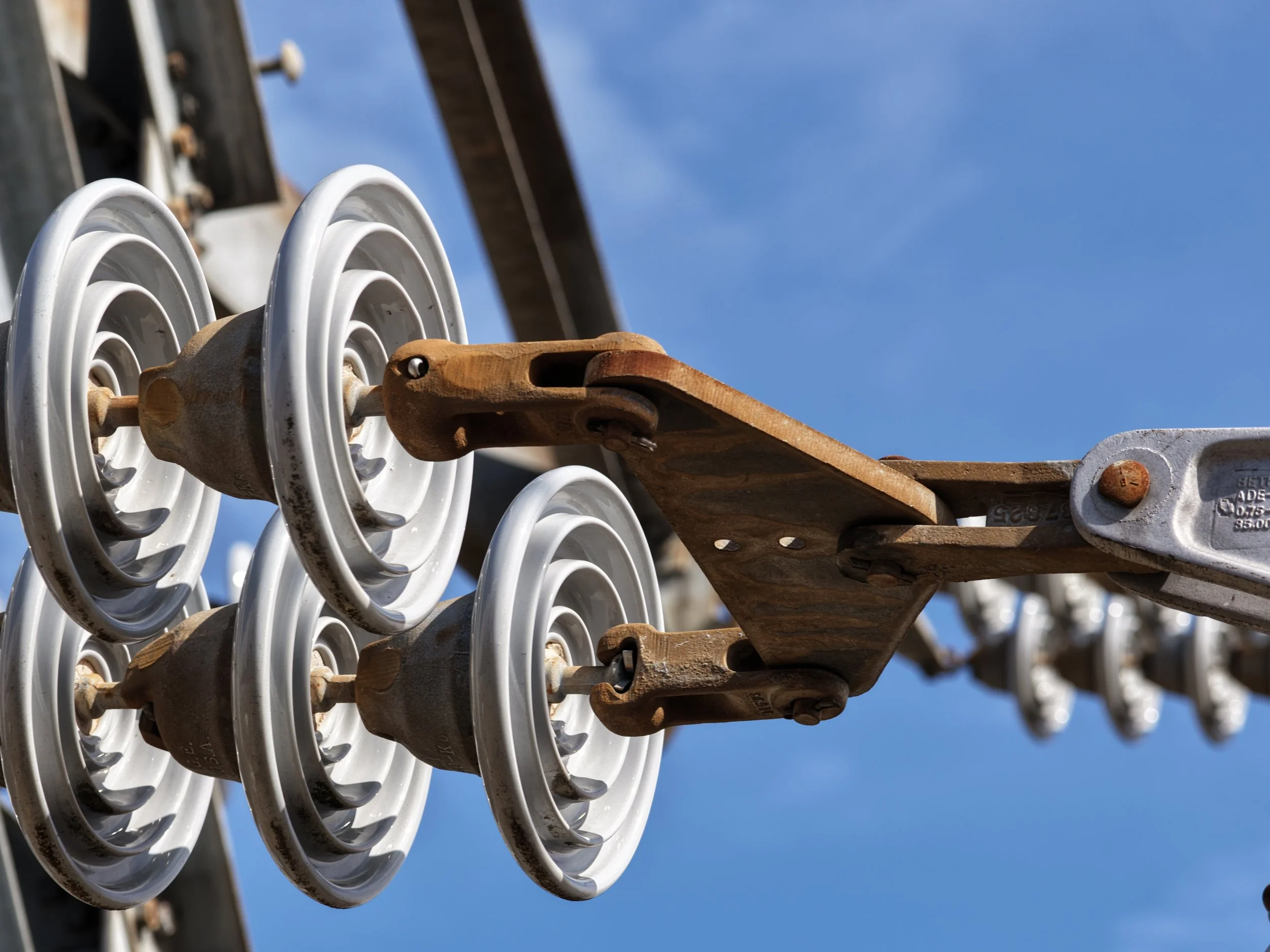
Electrical Tower Inspections
Electrical Grid Inspections
High-voltage power lines are exposed to the elements 24/7, making regular inspections essential—but traditionally, this work required climbers and crews on-site, which is time-consuming and costly. Drones now provide a faster, safer, and more efficient solution.
Using high-resolution aerial imagery, drones can detect issues such as corrosion, damage, or loose connections without putting personnel at risk. In many cases, we can create a complete digital twin of the grid segment, giving you a detailed 3D record for analysis and monitoring. By identifying problems early, repair crews are only dispatched when necessary, saving both time and money while improving the accuracy and reliability of inspections.

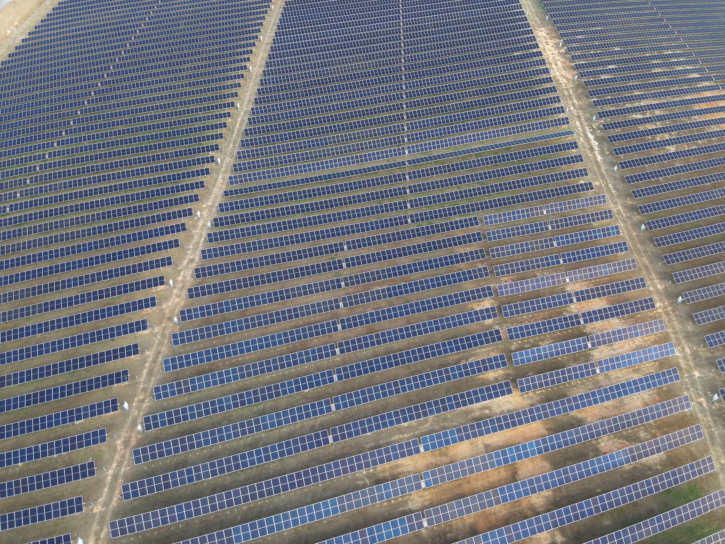
Solar Farm
monitoring
Drones are transforming the way solar farms and other large-scale assets are inspected. Traditional inspection methods often require manual labor, specialized equipment, and increased safety risks—especially when working at height or across vast areas. By contrast, drone technology allows for rapid, high-resolution data capture without putting personnel in harm’s way..
You can identify issues early—such as damaged panels, hotspots, shading problems, or structural concerns—before they escalate into costly failures. Drone inspections also help validate system performance, ensuring your solar farm is operating at peak efficiency and delivering the expected return on investment.
The result is a smarter, safer, and more proactive approach to asset management—giving you confidence that your system is running at its best while reducing long-term maintenance costs.
Current Work:
A look at our latest drone projects, showcasing real-world inspections, aerial imaging, and data capture in action.
Call for information 336-925-6137
Publicity photos
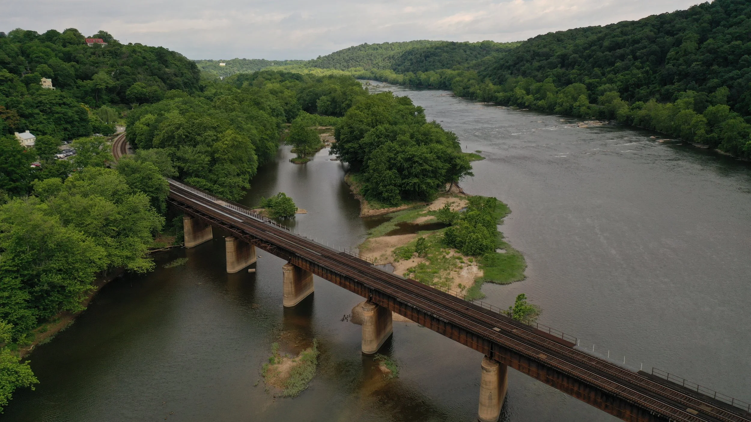
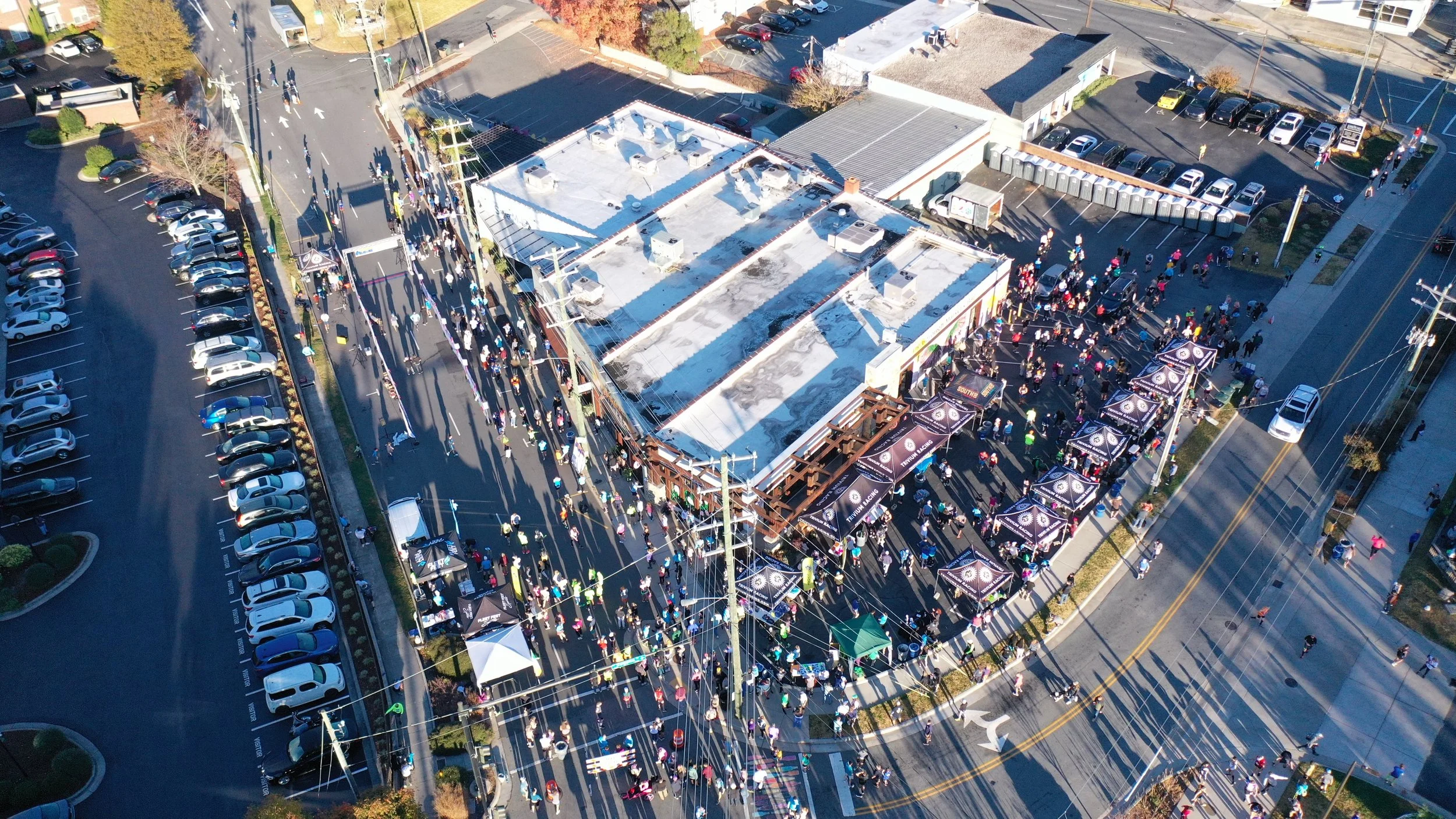
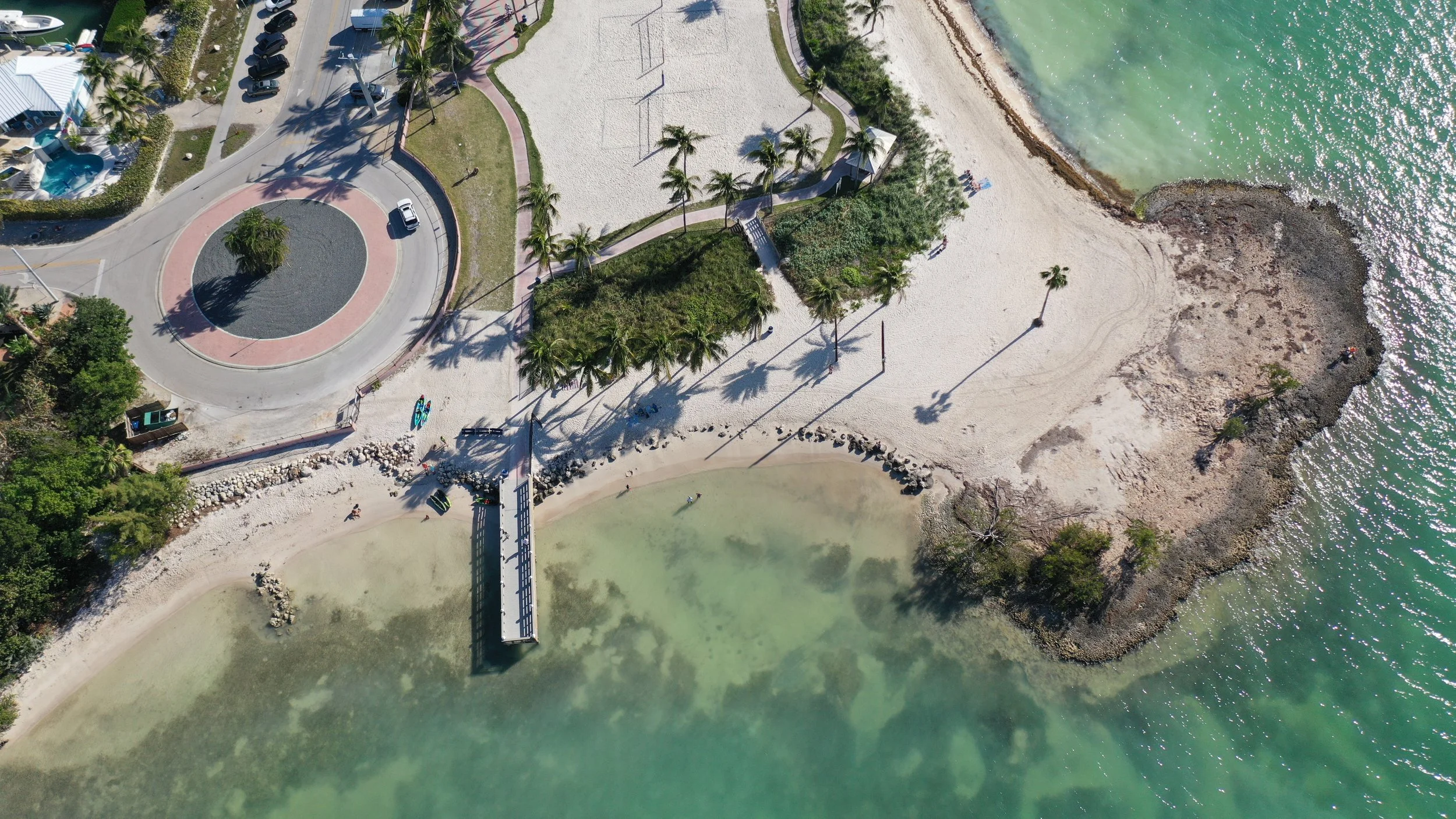
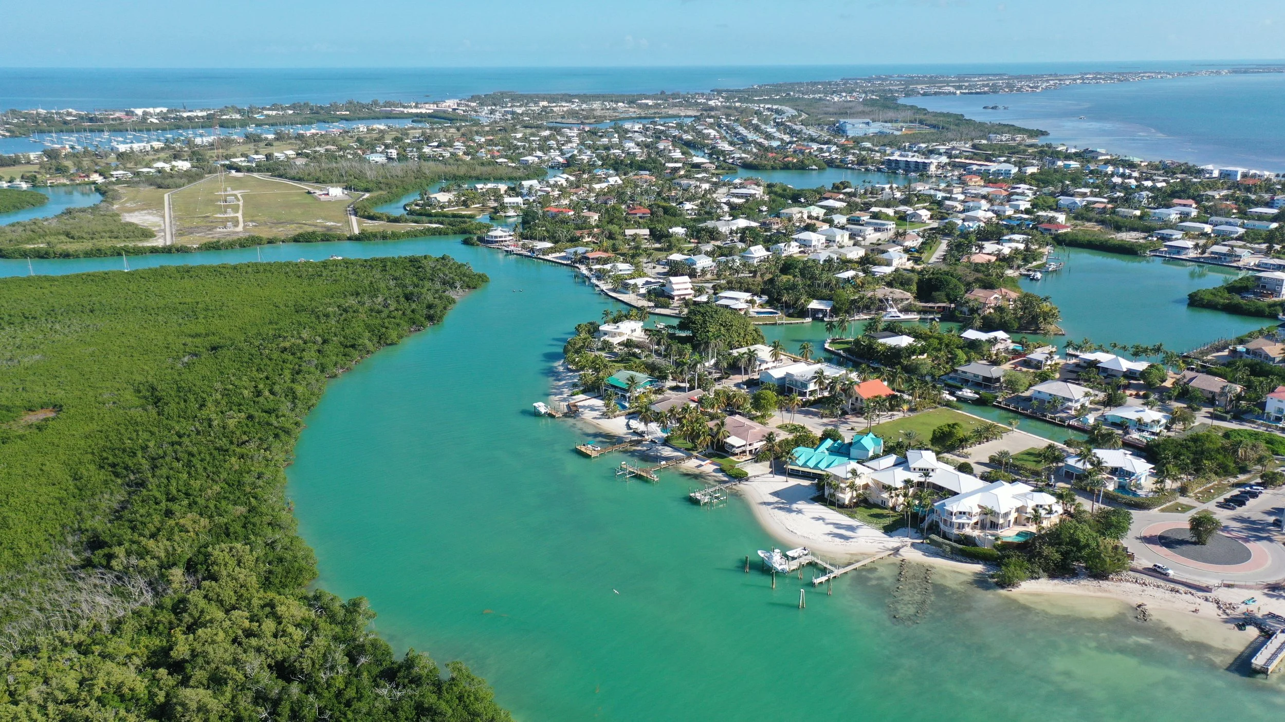
Drone footage, a perspective you just cannot get from the ground. Drone footage offers a completely unique way to capture the world—providing angles, heights, and viewpoints that no ground-based camera can achieve. From soaring overhead shots to close-up inspections of hard-to-reach areas, drones reveal details and perspectives that would otherwise be impossible to see.
This aerial advantage allows you to showcase scale, context, and intricacy in ways that engage viewers and deliver actionable insights. Whether for marketing visuals, property documentation, or technical inspections, drone imagery uncovers hidden details, tells a fuller story, and transforms ordinary projects into compelling, visually dynamic content.
By combining creativity with precision, drones don’t just take pictures—they provide a strategic advantage in capturing and communicating information.
ncdrone.inspections@gmail.com
Let’s Keep In Touch
Call for information 336-925-6137
Turn Drone Footage into Results
Ready to put professional UAV imagery to work for your business? Contact us for a complimentary consultation and see how our tailored approach can transform your ideas into actionable insights, stunning visuals, and measurable results. Whether it’s inspections, marketing, or property monitoring, we help you harness the full potential of drone technology.
Our Expertise
Aerial Imaging for Property and Landscape Management
No matter where the need arises, drone footage can be the best solution for managing properties or land. With over eight years of UAV experience and a fleet of five professional drones, NC-Drone Works can record large plots of land and capture images and perspectives—delivering detailed, actionable visuals to help you make smarter decisions.
ncdrone.inspections@gmail.com
Follow Us On Social